
ABOUT US
Experienced Professionals. Practical Solutions
Experienced Professionals. Practical Solutions
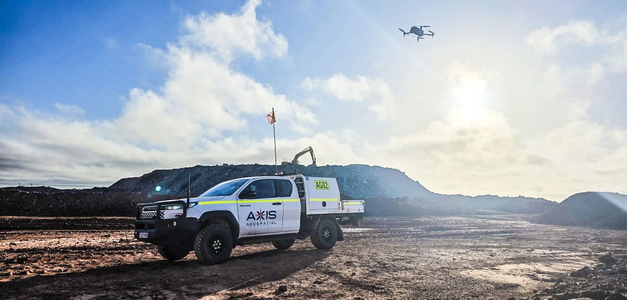
Axis Geospatial was founded on a simple principle: provide reliable surveying and geospatial services supported by experienced professionals who remain actively involved in project delivery.
With nearly 40 years of combined industry experience, our team has delivered surveying, spatial data and project support services across major mining, infrastructure, civil construction and industrial projects throughout Australia and internationally.
We combine proven technical expertise with a hands-on approach, ensuring every project benefits from practical knowledge, clear communication and a commitment to quality outcomes.
Leading From the Front
At Axis Geospatial, leadership extends beyond management and administration.
Our directors remain actively engaged in project planning, mobilisation, technical oversight and field operations, providing direct support to both clients and project teams. This involvement helps ensure projects are established correctly, technical standards are maintained, and clients receive responsive service from experienced professionals who understand the challenges of project delivery.
By remaining involved throughout the project lifecycle, we provide continuity, accountability and confidence that projects are being delivered to the highest professional standards.
Building Capability Through Experience
A key focus of Axis Geospatial is creating an environment where knowledge, experience and industry best practice are shared throughout the team.
Grant and Clint are committed to mentoring surveyors, developing technical capability and supporting professional growth through practical training, technical guidance. Drawing on decades of project experience and specialised expertise in surveying technology, UAV operations, machine guidance and spatial data management, they help ensure the Axis Geospatial team continues to deliver accurate, efficient and dependable solutions for every client.

MEET THE TEAM
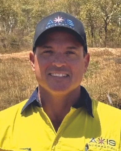
Clinton Clarke
Operations Manager
Clint has more than 13 years of experience delivering surveying services across civil construction, infrastructure, mining and SMP projects throughout Australia and Africa. His expertise spans project coordination, survey management, UAV operations, machine guidance and resource planning, providing a strong foundation for successful project delivery across a wide range of industries.
As Operations Manager, Clint oversees project mobilisation, resourcing, programming and client coordination, ensuring projects are properly supported and efficiently delivered from commencement through to completion. His hands-on approach and strong focus on client service help ensure projects are delivered safely, effectively and to the highest standard.
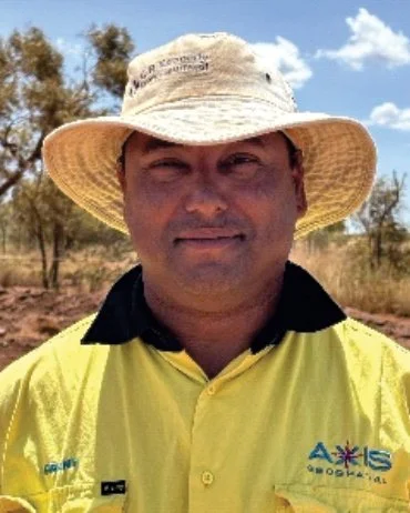
Grant Johnson
Technical Manager
Grant brings more than 25 years of surveying and geospatial experience gained across Australia, New Zealand and Africa. Throughout his career, he has worked across major mining, infrastructure, civil construction and SMP projects, developing extensive expertise in surveying, spatial data management and UAV operations.
As Technical Manager and Chief Pilot, Grant provides technical leadership and support across Axis Geospatial, helping ensure projects are delivered accurately, safely and in accordance with industry standards. A qualified Trainer and Assessor, he works closely with field teams to provide technical guidance, mentoring and professional development while supporting the ongoing growth of the company's people, systems and capabilities.