
SERVICES
Axis Geospatial provides professional surveying services, reality capture and spatial data solutions to support civil construction, mining, infrastructure and land development projects. Combining experienced personnel, modern technology and robust QA/QC processes, we deliver accurate and reliable information that helps project teams make informed decisions and deliver successful outcomes.
Capability Statement

Mining, Infrastructure
& Construction
Survey Support
MINING, INFRASTRUCTURE & CONSTRUCTION SURVEY SUPPORT
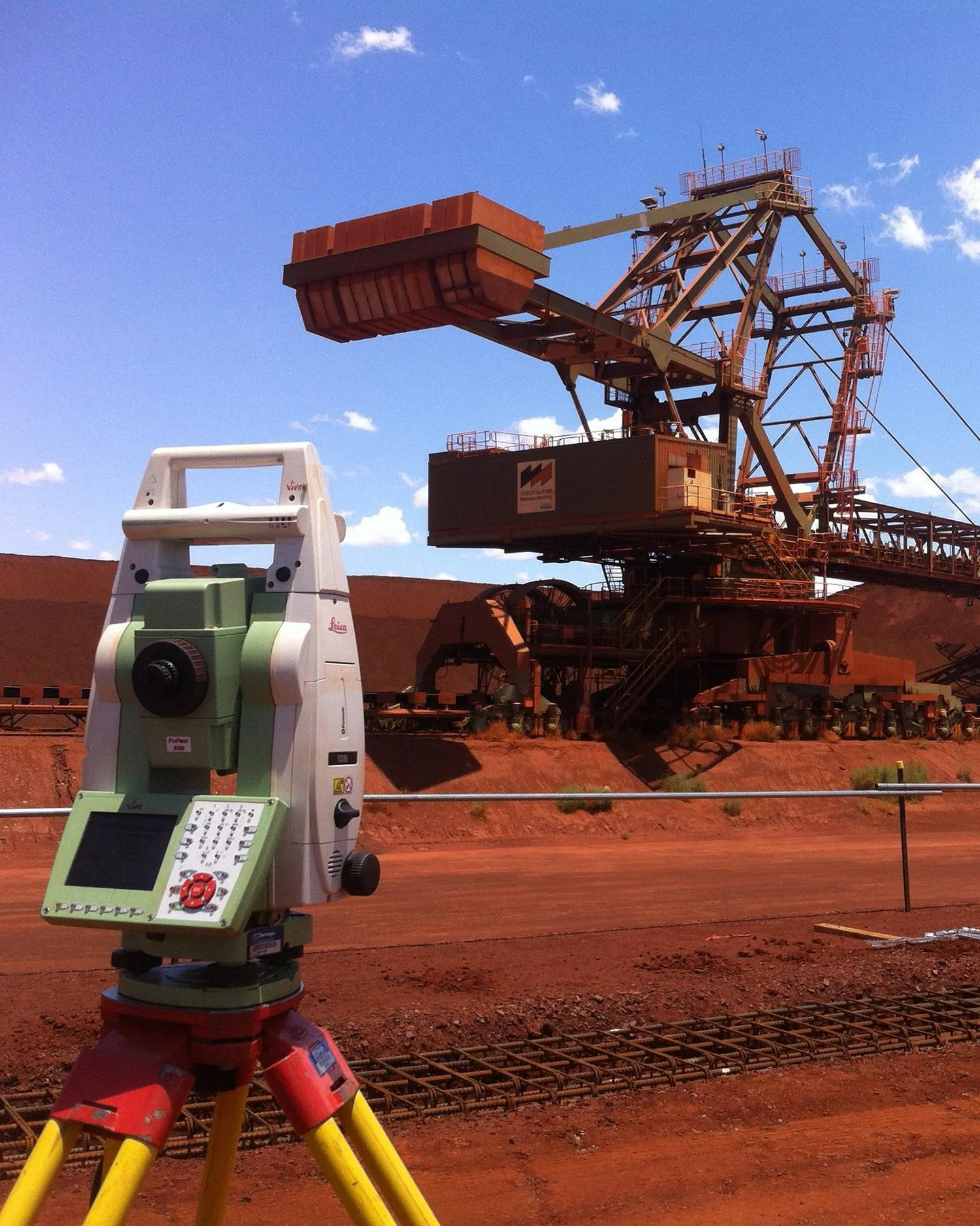
Axis Geospatial provides comprehensive survey support to mining, infrastructure and construction projects throughout all stages of development, from initial earthworks and site establishment through to construction, commissioning and ongoing operational support. Our team understands the demanding environments, tight schedules and high standards required to successfully deliver projects within these sectors.
SERVICES INCLUDE:
Mine Surveying
Survey control networks
Bulk earthworks support
Civil construction set-out and as-built surveys
SMP (Structural, Mechanical & Piping) surveying and alignment
Machine guidance modelling and support
Stockpile and volume calculations
Pit, haul road and infrastructure surveys
Progress and conformance surveys
Deformation and monitoring survey
Whether supporting mining operations, major infrastructure developments or complex construction projects, Axis Geospatial provides accurate spatial data and practical survey solutions that help clients maintain productivity, quality and confidence throughout project delivery.
Land Development Surveying
Land Development Surveying
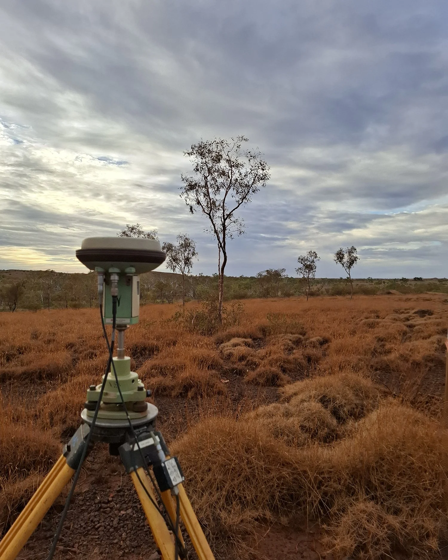
Whether supporting residential, commercial or industrial developments, Axis Geospatial provides surveying services that assist projects from planning through to construction.
Services can include:
Site feature and detail surveys
Existing conditions surveys
Survey control establishment
Construction support surveys
Final as-built surveys
Survey data for design and planning purposes
Our team works alongside developers, engineers and contractors to provide accurate spatial information that supports informed project decisions.
UAV, Drone Surveying & Reality Capture
UAV, DRONE SURVEYING & REALTY CAPTURE
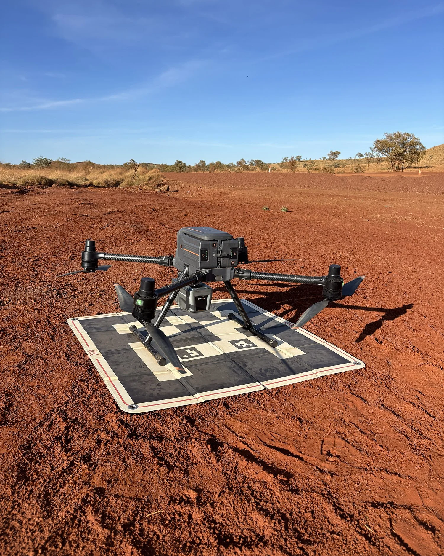
Using modern UAV and reality capture technology, Axis Geospatial provides efficient and safe methods for collecting detailed site information across large and complex project areas.
SERVICES INCLUDE:
UAV aerial mapping
Photogrammetry
LiDAR surveys
Laser scanning
High-resolution orthomosaics
Digital surface models
Point cloud generation
Digital Twin development
Reality capture solutions provide clients with accurate digital representations of sites, assets and infrastructure for planning, analysis and ongoing project management.
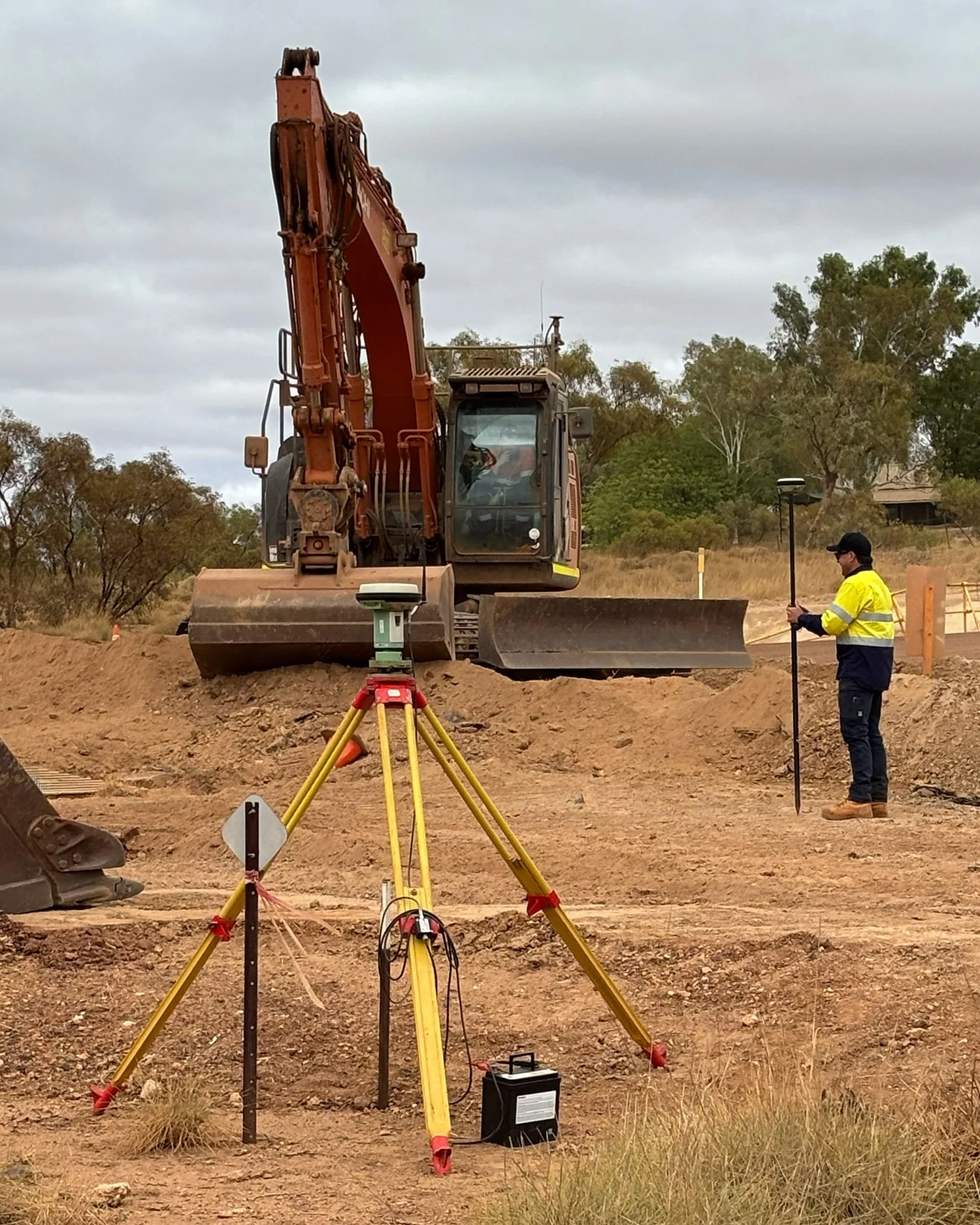
Machine Guidance &
Digital Construction
MACHINE GUIDANCE & DIGITAL CONSTRUCTION
Axis Geospatial supports construction teams through the preparation, validation and management of machine guidance models.
Our services include:
Machine control model creation
Model verification and QA
Surface generation
Design data preparation
Field support and troubleshooting
By providing accurate and reliable machine guidance data, we help improve productivity, reduce rework and support efficient project delivery.
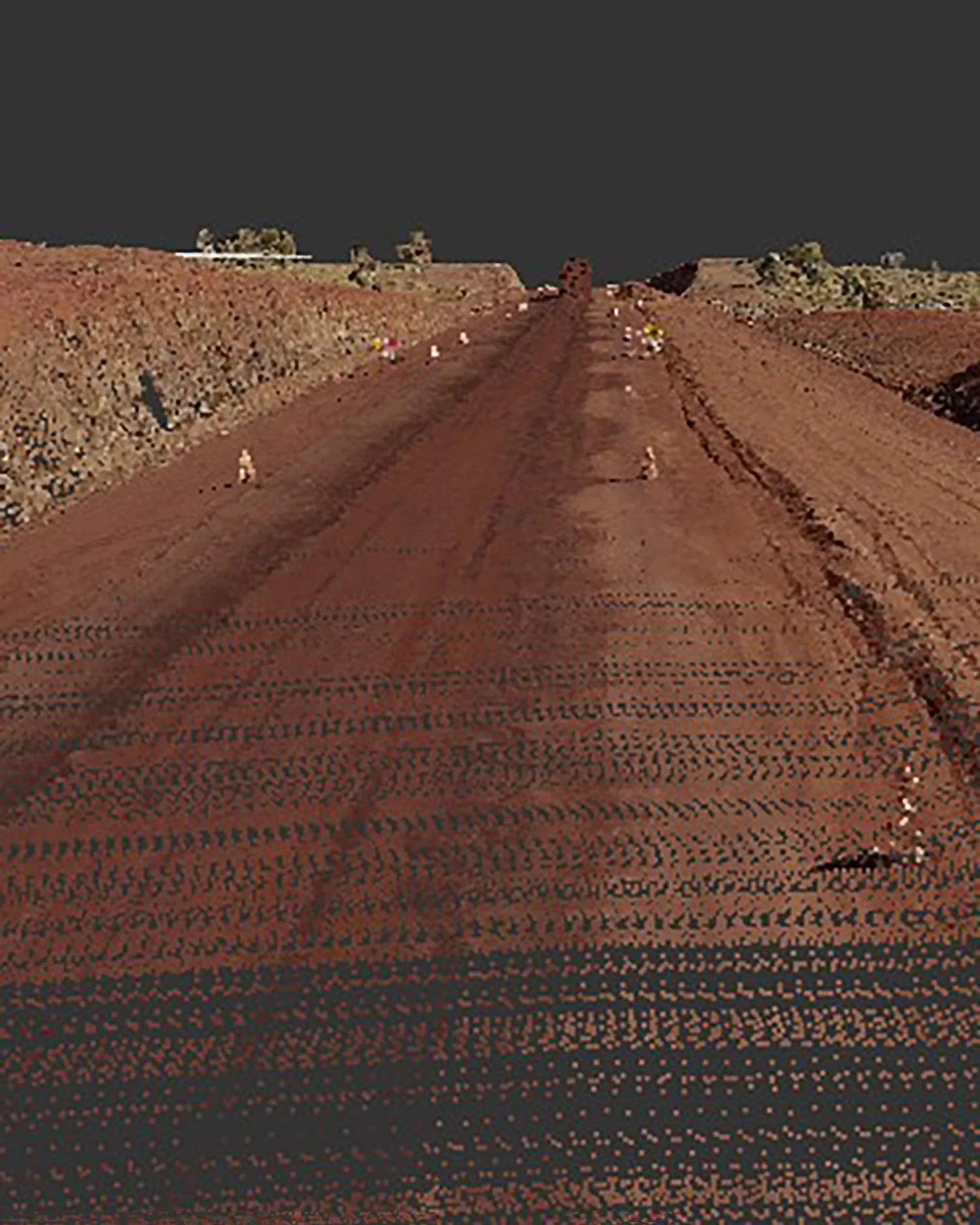
Spatial Data, Volumetrics & Digital Deliverables
SPATIAL DATA, VOLUMETRICS & DIGITAL DELIVERABLES
Accurate survey data is most valuable when it is transformed into practical information that supports project planning, construction and decision-making. Axis Geospatial provides comprehensive data processing, modelling and reporting services to deliver clear, reliable and fit-for-purpose project information.
Services include:
Stockpile volume calculations
Earthworks quantities and cut/fill analysis
Progress and quantity reporting
Surface modelling and terrain analysis
Feature extraction
CAD drafting and deliverables
QA/QC documentation
Spatial data management
Design and modelling support
Whether derived from conventional survey methods, UAV operations or laser scanning, our deliverables are tailored to meet project specifications and client requirements while providing accurate information for planning, construction and asset management.