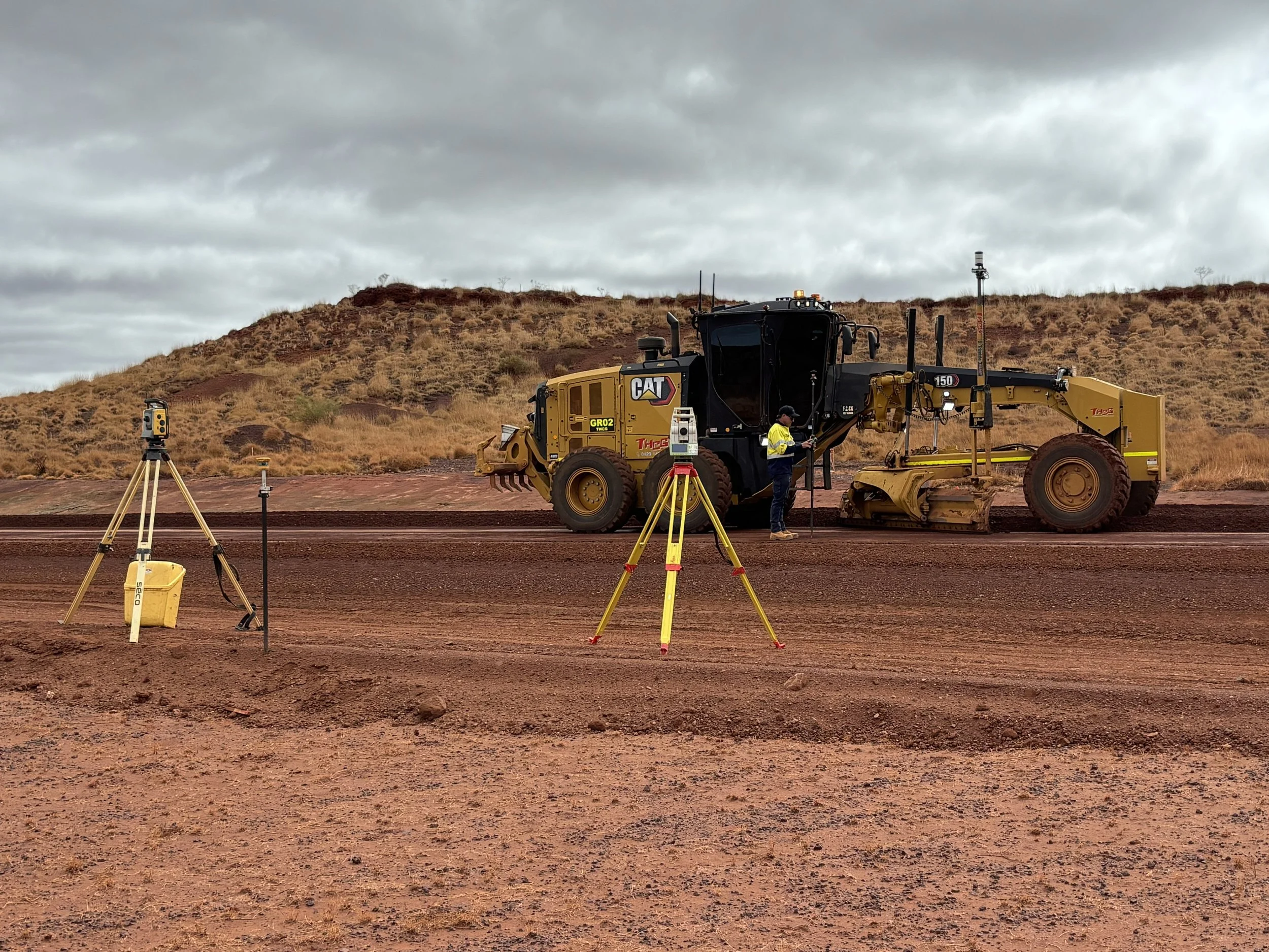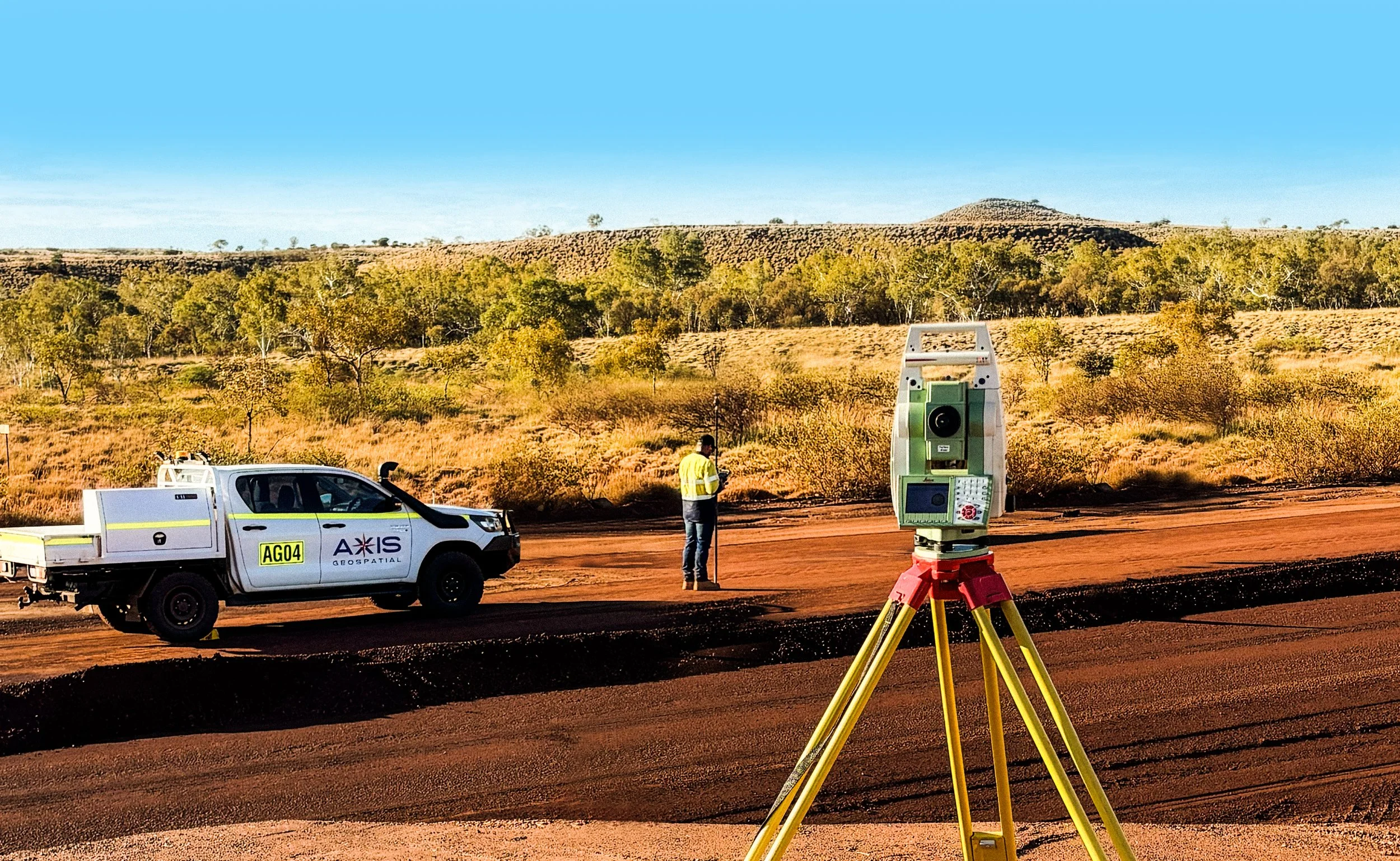
SURVEYING. GEOSPATIAL SOLUTIONS. REALITY CAPTURE.
Delivering precision solutions for mining, infrastructure, construction and land development across Australia.

SURVEYING & GEOSPATIAL SOLUTIONS
BACKED BY EXPERIENCE
Axis Geospatial delivers professional surveying, geospatial and reality capture solutions for mining, infrastructure, construction and land development projects across Australia.
Led by experienced industry professionals, we provide accurate spatial data, practical advice and dependable support to help clients plan, build and deliver projects with confidence
-
Major infrastructure, mining and civil projects across Australia
-
Work directly with experienced surveying professionals
-
Practical solutions backed by modern technology and proven expertise

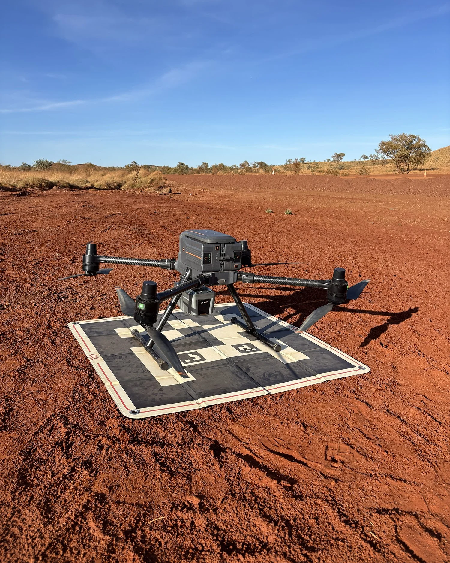
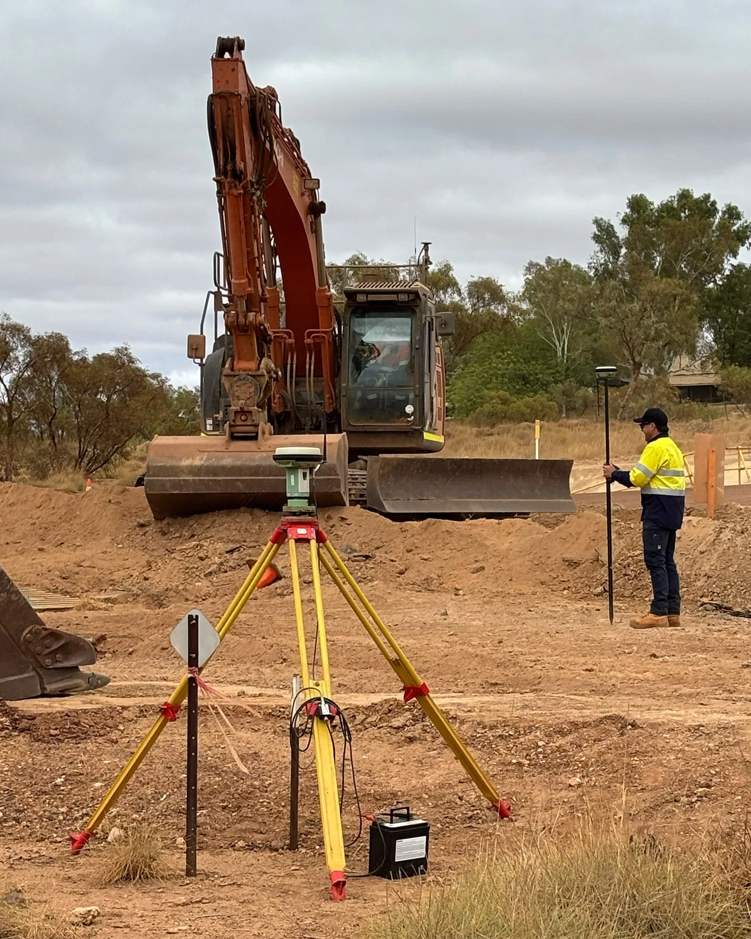
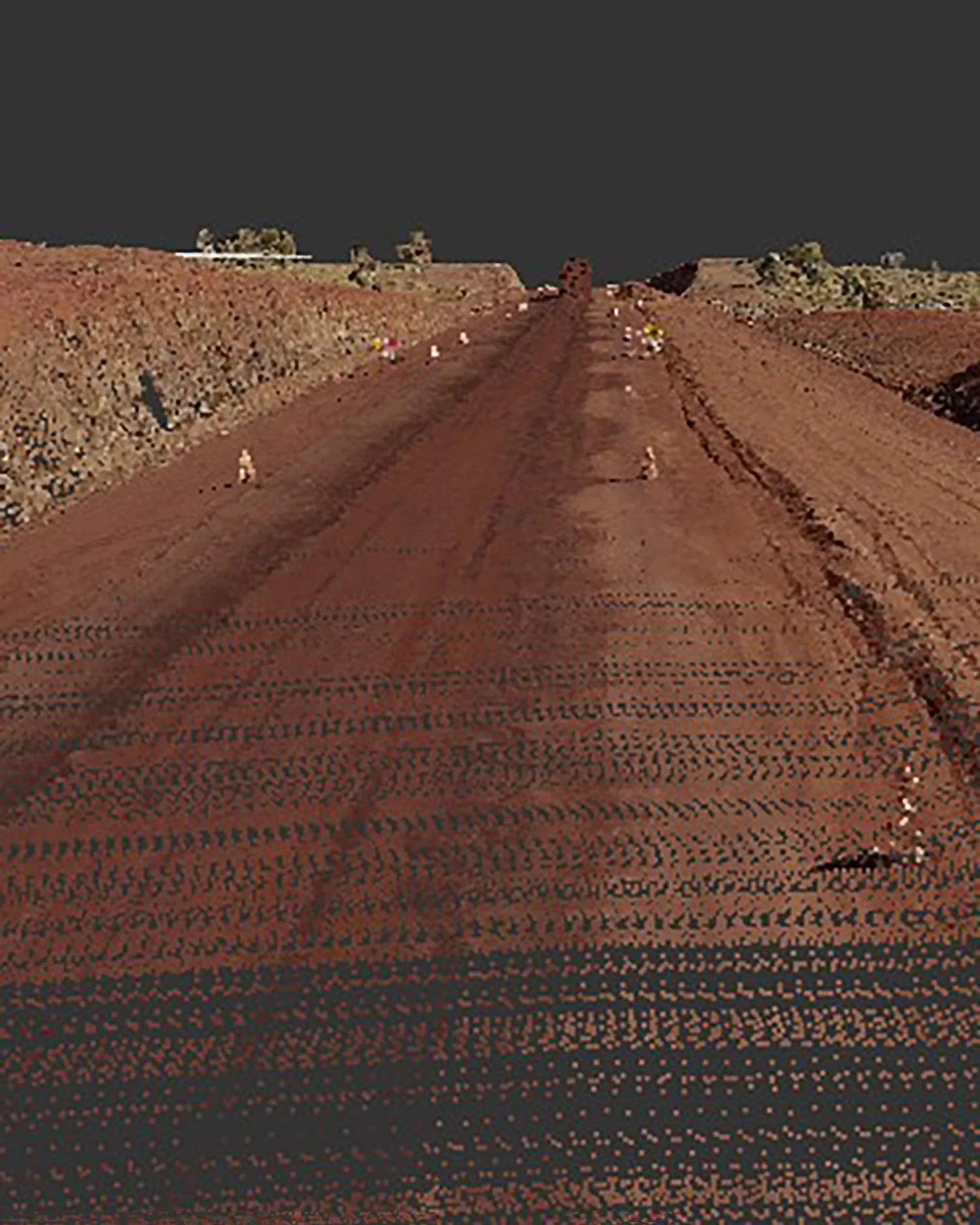
We support projects across
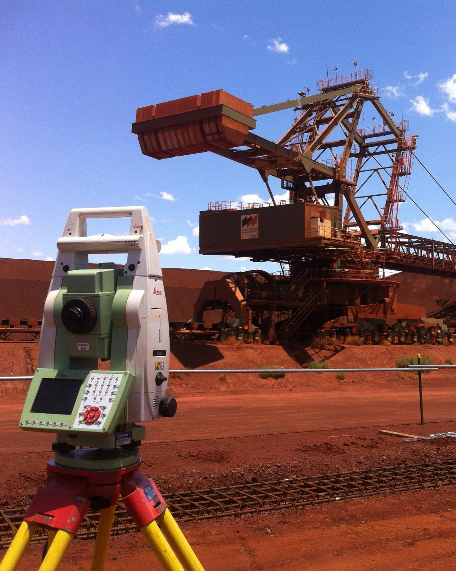
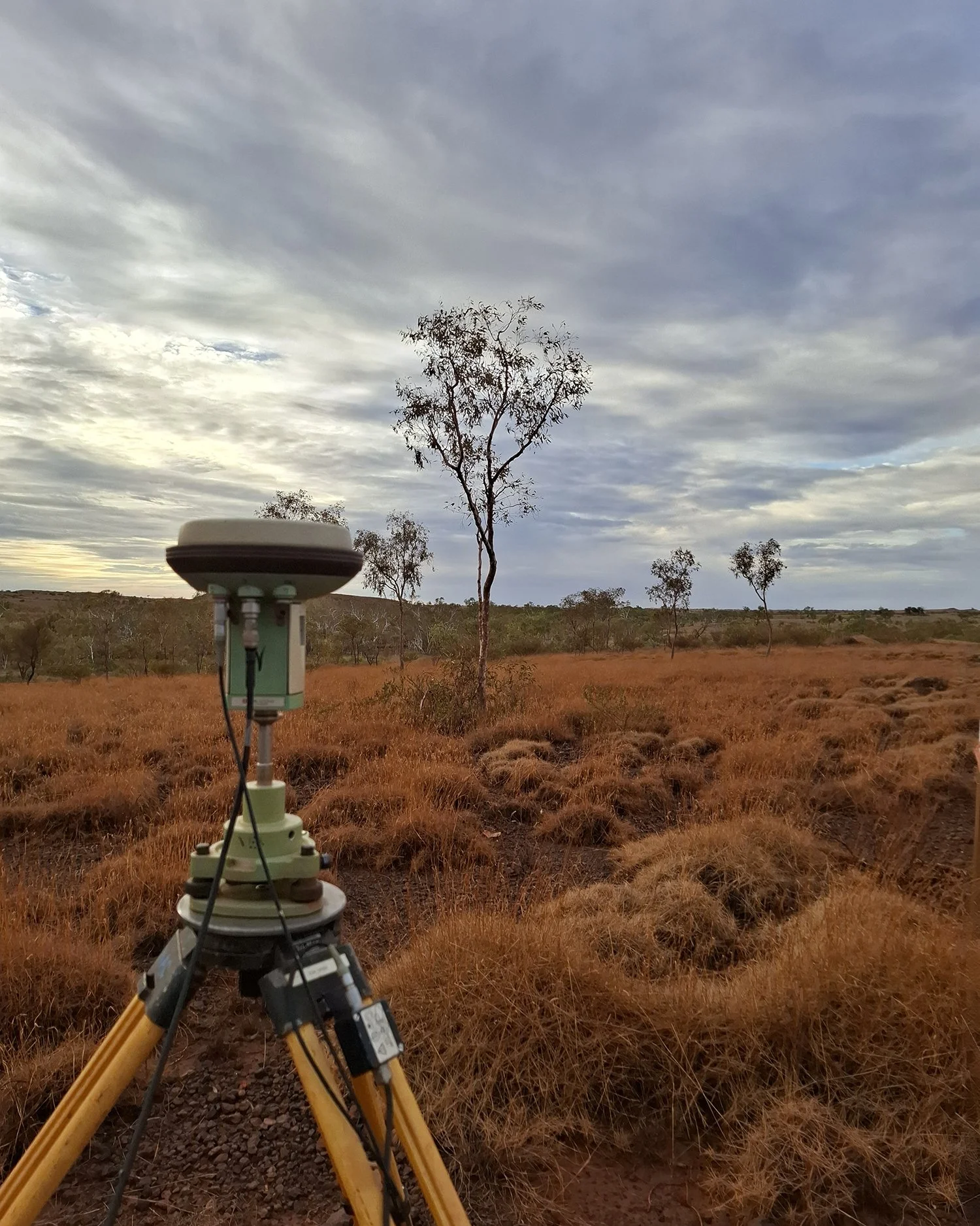
Axis Geospatial provides surveying and geospatial solutions to a diverse range of industries throughout Australia.
Our experience spans civil construction, mining, infrastructure and industrial projects, delivering accurate spatial data and practical project support that helps clients build with confidence.
CIVIL
CONSTRUCTION
MINING &
RESOURCES
INFRASTRUCTURE \ DEVELOPMENT
INDUSTRIAL
FACILITIES
LAND
DEVELOPMENT
UTILITIES &
RENEWABLE
ENERGY
Whether supporting a major infrastructure development, a remote mining operation or a local construction project, Axis Geospatial delivers reliable surveying services tailored to project requirements and industry standards.
ENVIRONMENTAL PROJECTS
Why Choose Axis Geospatial
Practical Experience. Personal Service
At Axis Geospatial, we take a hands-on approach to every project, combining technical expertise with a strong commitment to client service.
Our directors remain actively involved in project mobilisation, technical oversight, field operations and client communication, providing continuity and accountability throughout the project lifecycle. By maintaining close involvement from initial enquiry through to project completion, we ensure our clients receive practical advice, responsive support and solutions tailored to their specific requirements.